
The Windy.com interactive graphic above allows you to zoom in and out, fast-forward to see the futurecast, and check on various weather patterns here in NH and around the country. Select from menu in the top right corner.
Tuesday’s Weather
A slow-moving cold front today into tonight. Until this front has passed, still looking at a risk for showers, and perhaps a thunderstorm or two. Tonight less humid air will move in giving us comfortable sunshine for tomorrow.

Weather Outlook June 22 – June 26
Today: Lots of clouds & humid with thunderstorm in afternoon High 80 Winds: WSW 10-15 mph
Tonight: Thunderstorms then clearing late and less humid Low 54 Winds: NW 5-10 mph
Wednesday: Mostly sunny & comfortable High 78 Winds: NW 5-10 mph
Wednesday night: Clear Low 52 Winds: Light & Variable
Thursday: Sunny High 81 Winds: S 5-10 mph
Thursday night: Clear Low 55 Winds: SSE 5-10 mph
Friday: Mix sun & clouds; warmer & more humid High 85 Winds: SSE 5-10 mph
Friday night: Partly cloudy Low 63 Winds: SSE 5-10 mph
Saturday: Mix sun & clouds, windy, warmer and humid. High86 Winds: SSW 10-15
Saturday night: Partly cloudy, warm and humid Low 70 Winds: SSW 5-15 mph
Weather Patterns We’re Watching
Warmer and more humid conditions return Friday and for the weekend.
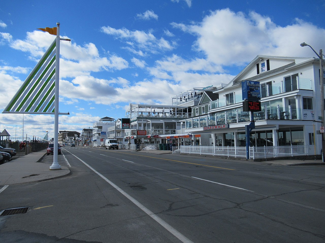
Beach Weather Update
- Weather Outlook: Mostly cloudy and humid with a few showers.
- UV Index: Low.
- Thunderstorm Potential: None.
- Temperature: In the mid-70s.
- Winds: West 5-10 mph.
- Surf Height: Around 2 feet.
- Water Temperature: 60 degrees.
- Rip Current Risk: Low.
- Tides: Hampton Beach: High 8.5 feet (MLLW) 08:36 AM. Low 0.1 feet (MLLW) 02:57 PM.
Be an official Ink Link Weather Spotter!
Rick Gordon could use your help. If you are interested in becoming a local weather spotter (all locations around NH) contact Rick at gordonwx@comcast.net and he’ll walk you through the process!
