The high yesterday of 99 broke the record of 94 set in 1935. Today will be hot but not record heat the high today of 94 will feel like 100 with the humidity.
5-Day Outlook Aug. 5-Aug. 9
Today: Some sun and muggy with hit or miss thunderstorms. High 94 Winds: W 5-10 mph
Tonight: Cloudy and humid with spotty thunderstorms in the evening. Low 72 Winds: Light & Variable
Saturday: Some clouds and sun, humid and hot with a few thunderstorms. High 90 Winds: SW 5-10 mph
Saturday night: Partly cloudy, very warm, and humid. Low 74 Winds: SSW 5-10mph
Sunday: Some sun, hot, and muggy with hit-or-miss thunderstorms. High 94 (feel like 101) Winds: WSW 10-15 mph
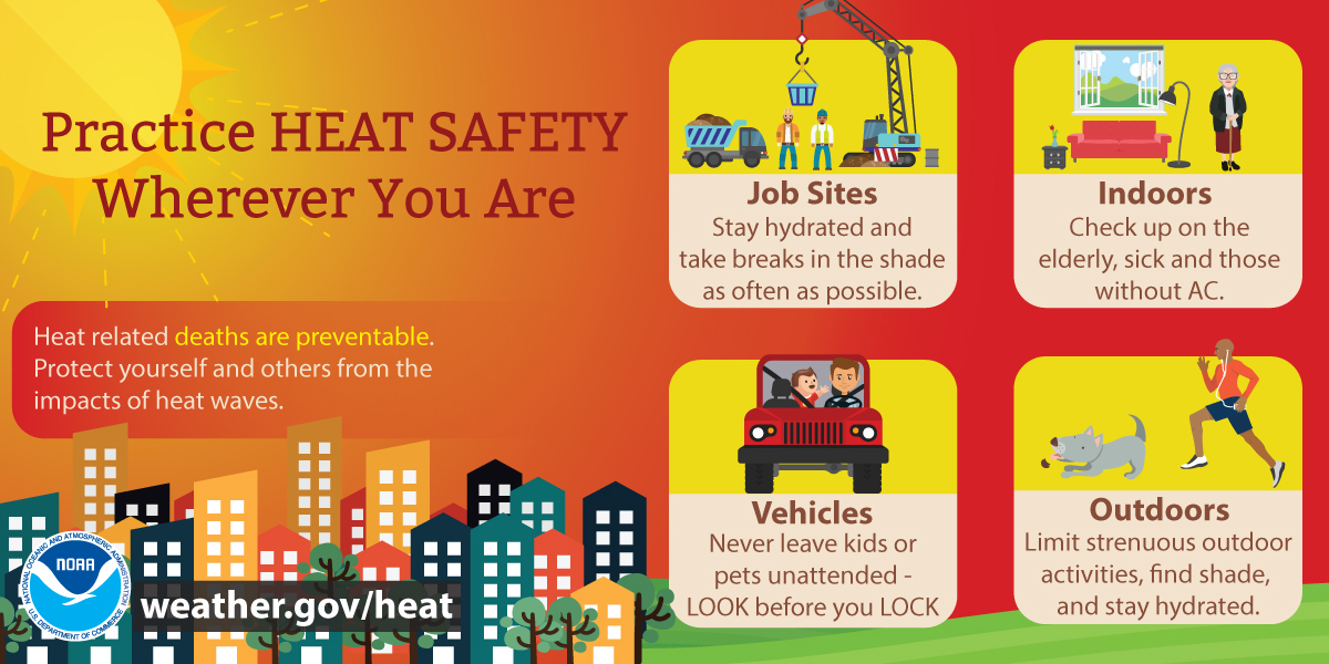
THE HEAT ADVISORY REMAINS IN EFFECT UNTIL 8 PM FRIDAY
WHAT…Heat index values in the upper 90s to 100 are expected.
WHERE…Merrimack, Strafford, Eastern Hillsborough, and Interior Rockingham Counties.
WHEN…Until 8 PM tonight. IMPACTS…Hot temperatures and high humidity may cause heat illnesses.
PRECAUTIONARY/PREPAREDNESS ACTIONS… Drink plenty of fluids, stay in an air-conditioned room, stay out of the sun, and check up on relatives, pets, and neighbors.
Weather Patterns We’re Watching
The August heat and humidity will last until the start of next week.
Summits above 4,000 feet in Northern New Hampshire Today:
Summits obscured. Showers are likely with scattered thunderstorms in the afternoon. Some thunderstorms may produce heavy rainfall in the afternoon. Highs in the upper 60s… except in the lower 60s at elevations above 5,000 feet. West winds around 30 mph decreasing to around 15 mph in the afternoon. Chance of rain 70 percent.
Elevations between 2,500 and 4,000 feet in Northern New Hampshire Today: Summits obscured. A chance of showers in the afternoon. Highs in the lower 70s. West winds around 20 mph decreasing to around 10 mph in the afternoon. Chance of rain 50 percent.
Photo/Jeffrey Hastings
Beach Forecast
Weather: Partly sunny until 5 PM, then cloudy. Scattered thunderstorms and a chance of showers.
U.V. Index: High.
Thunderstorm Potential: Moderate. Implies that thunderstorms are possible.
High Temperature: Highs in the mid-80s.
Winds: Southwest winds around 5 mph, becoming south in the afternoon.
Surf height: Around 2 feet, subsiding to around 1 foot in the afternoon.
Water temperature: 69 degrees.
Rip Currents: Low Tides for Hampton Beach: Low 0.6 feet (MLLW) 11:31 AM. High 8.9 feet (MLLW) 05:31 PM.
Lake Winnipesaukee
Lake Forecast for Lake Winnipesaukee
West winds around 5 mph. Waves less than 1 foot. Mostly cloudy. A slight chance of showers in the morning then showers likely with scattered thunderstorms in the afternoon. Some thunderstorms may produce heavy rainfall in the afternoon. Humid with highs in the mid-80s. Chance of rain 70 percent. The lightning threat is moderate, which implies that thunderstorms are possible. Water temperature 65 degrees.
Sign up for the FREE daily newsletter and never miss another thing!