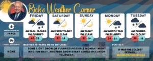
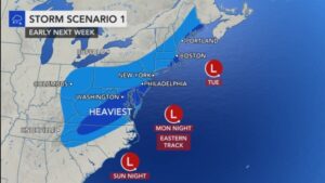
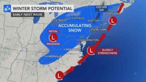
Weather: Next snowstorm could arrive Sunday
read more…: Weather: Next snowstorm could arrive SundayAnother snowstorm possible Sunday night into next Monday, along with an Arctic blast next week!

Another snowstorm possible Sunday night into next Monday, along with an Arctic blast next week!

Snow during the morning will transition to snow showers during the afternoon.

Some light snow or show showers will be possible during the afternoon, with the bulk of the moderate to heavy snow moving in by evening.
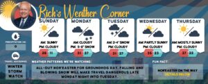
Today look for mainly sunny skies and light winds. It will be warmer than yesterday, but still below normal, with highs in the upper 20s.
High pressure will build east across southern Canada which will give us a sunny and cold weekend.
Today the coldest air of the season will produce windy conditions along with occasional snow showers and flurries, mainly later; frostbite to exposed skin within 15 minutes with wind chills below zero.

Today a trough will move through bringing a few passing flurries. A stronger upper level low will move southeastward into New Hampshire early tomorrow morning, bringing down the coldest air so far this season. Scattered snow showers and potentially a heavier snow squall will be possible tomorrow.
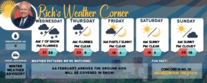
A reinforcing shot of arctic air will then move into New Hampshire on Friday and last through the first half of the weekend. The gusty winds will produce fridge wind chills. As February arrives the Ground Hog will be covered in snow!

A reinforcing shot of arctic air will then move into New Hampshire on Friday and last through the first half of the weekend.
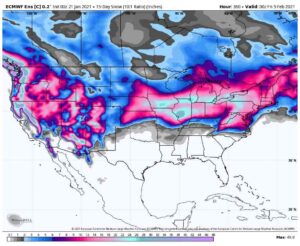
If you are wondering where all the snow is, take a look at the forecast for February.
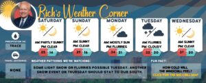
Behind the cold front which passed through last evening, much colder temperatures will follow for this weekend. In addition, wind gusts today and especially Sunday may approach 30-35 mph, which will create below-zero windchill values.
Watching another snow event a week away.

The weak clipper-like system will slowly move eastward from Ontario through northern New England today into Friday. With little moisture to work with we may see a passing flurry tonight.

Some flurries today and cold moving in for the weekend. Plus, what you need to know about safety on ice.
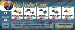
Intervals of sun & clouds today as a clipper type system approaches from the central Great Lakes.
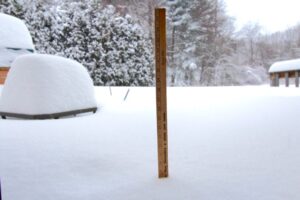
More typical January temperatures return this week.
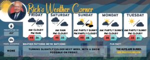
Today will be mostly quiet, with similar temperatures we had the past several days. Clouds will increase with rain moving into Manchester late tonight.

Weak disturbance today will produce a cloudy sky with a passing snow or rain shower.