
The Windy.com interactive graphic above allows you to zoom in and out, fast-forward to see the futurecast, and check on various weather patterns here in NH and around the country. Select from menu in the top right corner.
Friday’s Weather
Upper level low pressure spins into New Hampshire this weekend while several areas of low pressure track northeastward offshore. This will bring cool, cloudy, and occasionally wet conditions through the 4th of July.

Weather Outlook July 2 – July 6
Today: Mostly cloudy & cooler with periods of showers High 64 Winds: NE 10-20 mph
Tonight: Cloudy with showers and turning less humid Low 55 Winds: ENE 5-10 mph
Saturday: Periods of showers & thunderstorms High 59 Winds: NE 5-10 mph
Saturday night: Some clouds with showers Low 55 Winds: NE 5-10mph
4th of July: Mix of sun & clouds with a passing shower High 68 Winds: Light & Variable
Sunday night: Some clouds Low 56 Winds: Light & Variable
Monday: Warmer with a mix of sun & clouds High 84 Winds: WSW 5-10 mph
Monday night: Partly cloudy & more humid Low 66 Winds: Light & Variable
Tuesday: Hot & humid with a mix of sun & clouds High 92 Winds: WSW 10-15 mph
Tuesday night: Warm & humid Low Near 70 Winds: WSW 5-10 mph
Weather Patterns We’re Watching
The weather pattern remains unsettled into the Fourth of July weekend with the threat of showers continuing and temperatures trending much cooler than normal.
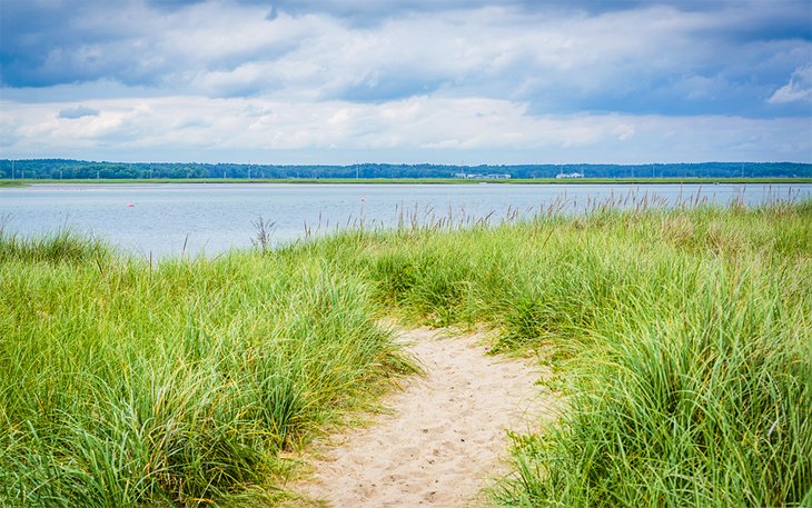
Beach Weather Update
- Weather Outlook: Cloudy. Showers.
- UV Index: Low.
- Thunderstorm Potential: Low. Implies that there is little chance of thunderstorms.
- Temperature: In the lower 60s.
- Winds: Northeast winds 15 to 20 mph.
- Surf Height: 5 to 6 feet. : 60 degrees.
- Rip Current Risk: Low
- Tides – Hampton Beach: High 8.0 feet (MLLW) 06:11 AM. Low 0.8 feet (MLLW) 12:42 PM.
Be an official Ink Link Weather Spotter!
Rick Gordon could use your help. If you are interested in becoming a local weather spotter (all locations around NH) contact Rick at gordonwx@comcast.net and he’ll walk you through the process!
