
The Windy.com interactive graphic above allows you to zoom in and out, fast-forward to see the futurecast, and check on various weather patterns here in NH and around the country. Select from menu in the top right corner.
Monday’s Weather
One frontal system passed to our north as another system passed to the south and east last night. High pressure will build over New Hampshire today and tomorrow with temperatures in the upper 70s.

5-Day Outlook Aug. 2 – Aug. 6
Today: Mix of sun & clouds High 79 Winds: NW 10-15 mph
Tonight: Clear & chilly Low 57 Winds: NW 5-10 mph
Tuesday: Mix sun & clouds High 79 Winds: WSW 5-10 mph
Tuesday night: Partly cloudy Low 61 Winds: SW 5-10 mph
Wednesday: Mix sun & clouds High 79 Winds: Light & Variable
Wednesday night: Partly cloudy with showers late Low 61 Winds: SE 5-10 mph
Thursday: Mostly cloudy with a spot thunderstorm High 79 Winds: ESE 5-10 mph
Thursday night: Cloudy with showers and a thunderstorm Low 64 Winds: ESE 5-10 mph
Friday: Mostly cloudy and more humid with a thunderstorm High 81 Winds: S 5-10 mph Friday night: Partly cloudy and humid Low 65 Winds: SW 5-10 mph
Weather Patterns We’re Watching
Warmer, and more humid weather next weekend as high pressure becomes established off the coast.
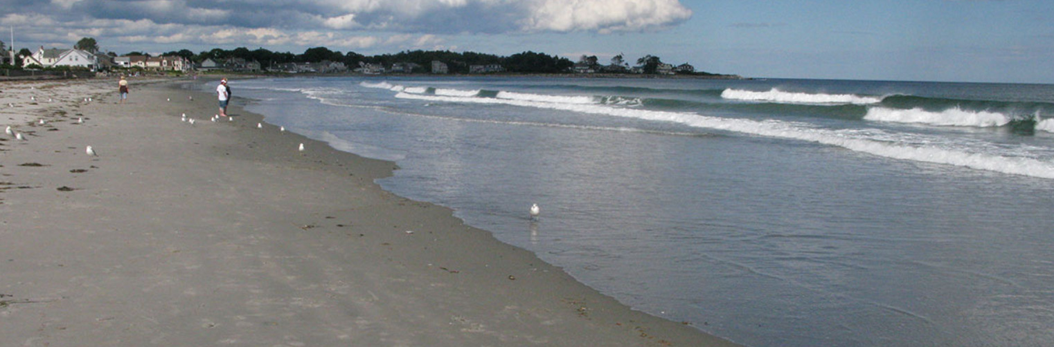
Beach Weather Update
Weather Outlook: Some sun with patch fog.
UV Index: High.
Thunderstorm Potential: None.
High Temperature: In the mid-70s.
Winds: Northwest winds around 5 mph, becoming west in the afternoon.
Surf Height: Around 2 feet, subsiding to around 1 foot in the afternoon.
Water temperature: 64 degrees.
Rip Current Risk: Low
Tides for Hampton Beach: High 7.1 feet (MLLW) 07:24 AM. Low 1.7 feet (MLLW) 01:37 PM.
Be an official Ink Link Weather Spotter!
Rick Gordon could use your help. If you are interested in becoming a local weather spotter (all locations around NH) contact Rick at gordonwx@comcast.net and he’ll walk you through the process!
