
Weather Watch with Rick Gordon
Below: Watch your weather outlook via YouTube, delivered in two minutes.
Saturday’s Weather
Today will stay dry until after sunset. Highs in the low to middle 30s. Tonight deteriorating travel conditions with periods of snow becoming heavy after midnight through daybreak accumulating 4-7″.
Winter Storm Warning
The National Weather Service has upgraded the Winter Storm Watch to a Winter Storm Warning from Saturday evening through 1 a.m. on Monday.
WHAT…Heavy snow is expected. Total snow accumulations of 6 to 12 inches. Winds gusting as high as 35 mph.
WHERE…Central and southern New Hampshire.
WHEN...From Saturday evening to 1 a.m. Monday.
IMPACTS…Travel could be very difficult with blowing snow.
ADDITIONAL DETAILS...Snow overspreads the region from west to east roughly between 7 and 9 p.m. Saturday The snow will then become heavy and fall at 1 to 2 inches per hour for a time Saturday night into Sunday morning. Snow will continue Sunday and should finally come to an end sometime early Sunday evening.
PRECAUTIONARY/PREPAREDNESS ACTIONS… If you must travel, keep an extra flashlight, food, and water in your vehicle in case of an emergency.
5-Day Outlook, Jan. 6-10

Today: Partly to mostly cloudy. High: 34 Winds: NE 5-10 mph
Tonight: Cloudy with periods of snow becoming heavy at times after midnight (4-7″). Low 27 Winds: NE 10-20+ mph
Sunday: Periods of snow (2-4″) & windy with blowing snow. High 30 (feel like 19) Winds: NNE 10-20+ mph
Sunday night: Early flurries with some clearing late. Low 17 Winds: NNW 5-10 mph
Monday: Mostly sunny. High 36 Winds: NW 5-10 mph
Monday Night: Clear to partly cloudy. Low 16 Winds: NW 5-10 mph
Tuesday: Partly to mostly cloudy. High 37 Winds: ESE 5-10 mph
Tuesday night: Windy with periods of heavy rain (1.5″). Low 35 Winds: ESE 15-20+ mph
Wednesday: Morning rain (.50″); mostly cloudy and windy. High 54 Winds: SSW 10-20 mph
Wednesday night: Some clearing & breezy. Low 34 (feel like 27) Winds: WSW 10=20 mph
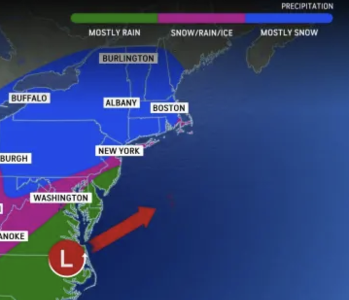
Weather Patterns We’re Watching
Our next storm Tuesday night into Wednesday will bring heavy rain, strong wind, and flooding. On the coast coastal flooding and beach erosion with power outages.
 Hiking Report/White Mountains Weather
Elevations for summits above 4,000 feet in Northern New Hampshire Today: Mostly cloudy in the morning, then summits becoming obscured. Highs around 16. Northwest winds around 25 mph becoming southwest around 10 mph in the afternoon. Gusts up to 50 mph. Wind chill values are as low as 19 below.
Elevations between 2,500 and 4,000 feet in Northern New Hampshire Today: Mostly cloudy in the morning, then summits in and out of clouds. Highs 14 to 24. North winds around 15 mph in the morning becoming light and variable. Gusts up to 40 mph.

Check for opening dates for Ski NH resorts.