Sunday’s Weather

5-Day Outlook Jan. 2 – Jan. 6
Today: Mostly cloudy with showers to wet snow (trace-1″) by evening. High 39 Winds: NNW 5-10 mph
Sunday night: Partial clearing late, windy, and colder. Low 19 (Feel like 8) Winds: NW 10-20+ mph
Monday: Mix sun & clouds, windy, and cold. High 26 (Feel like 16) Winds: NNW 10-15 mph
Monday night: Clear & cold. Low 15 (Feel like 11) Winds: NW 5-15 mph
Tuesday: Mostly sunny and not as cold. High 37 Winds: SW 5-10 mph
Tuesday night: Partly cloudy. Low 27 Winds: SSW 5-10 mph
Wednesday: Mostly cloudy & milder with a few showers. High 44 Winds: SW 5-10 mph
Wednesday night: Showers early with some clearing late. Low 36 Winds: SW 5-10 mph
Thursday: Mostly cloudy. High 40 Winds: W 5-10 mph
Thursday night: Mostly cloudy with light snow (2-4″) after midnight. Low 30 Winds: NNE 5-15 mph
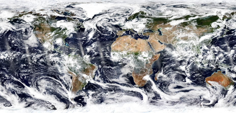
Check out the Top-10 List of satellite imagery from 2021

From devastating hurricanes to raging wildfires and erupting volcanoes, @NOAA’s satellites saw an eyeful from orbit this year. Click to see the top 10 images from 2021.
Weather Patterns We’re Watching
Potential for our first major snowstorm (6″+) of the New Year next Thursday night into Friday.
Ski Report via Ski NH
 Click below for ski conditions at your favorite resorts
Forecast for the White Mountains
Summits above 4,000 feet in Northern New Hampshire
Today: Summits obscured. Freezing rain likely with a chance of snow in the morning then snows with a chance of freezing rain in the afternoon. Highs in the lower 30s. West winds 20 to 30 mph. Chance of precipitation 80 percent. Wind chill values as low as 1 above in the afternoon.
Elevations between 2,500 and 4,000 feet in Northern New Hampshire
Today: Freezing rain and rain likely in the morning. Snow. A chance of freezing rain in the afternoon. Highs in the lower 30s. East winds around 15 mph shift to the west in the afternoon. Chance of precipitation near 100 percent.
Rick Gordon could use your help. If you are interested in becoming a local weather spotter (all locations around NH) contact Rick at gordonwx@comcast.net and he’ll walk you through the process!

