
Rick Gordon’s Weather Watch
Follow our YouTube channel here.
Today’s Weather
Expect a mix of sun and clouds today, with the potential for reduced air quality due to smoke from wildfires in Canada. High temperatures will reach 83°, with gentle winds coming from the southeast at 5-10 mph. Stay informed and take precautions if you’re sensitive to air quality changes!
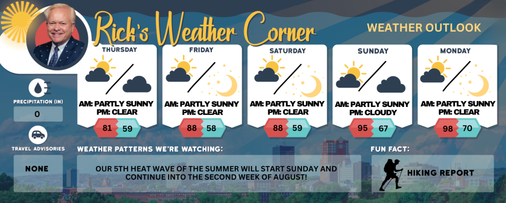
5-Day Outlook
Today: Some sun & clouds; smoke from wildfires in Canada can create reduced air quality. High 83 Winds: SSE 5-10 mph
Tonight: Partly cloudy. Low 59 Winds: S 5-10 mph
Friday: Mostly sunny and very warm. High 88 Winds: SSW 5-10 mph
Friday night: Clear. Low 58 Winds: SSE 5-10 mph
Saturday: Hazy sunshine & very warm. High 88 Winds: S 5-10 mph
Saturday night: Mainly clear. Low 59 Winds: S 5-10 mph
Sunday: Some sun, more humid, and hot. High 95 (feel like 97) Winds: WSW 5-15 mph
Sunday night: Partly cloudy and humid. Low 67 (feel like 69) Winds: SSW 5-10 mph
Monday: Hazy, very hot, and humid. High 98 (feel like 102) Winds: WSW 5-10 mph
Monday night: Clear, warm, and humid. Low 70 (feel like 73) Winds: SSW 5-10 mph
Futurecast
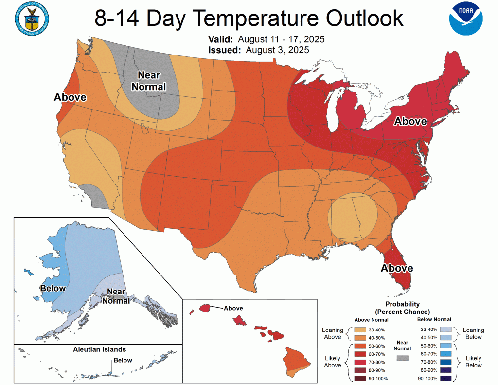
A significant high-pressure system will undoubtedly maintain dry and seasonable conditions in New Hampshire, providing comfortable air compared to the humid and hot summer experienced thus far. Smoke and hazy conditions will continue this week. The Canadian wildfires continue to rage and the smoke this week will continue to get into the atmosphere. Relish the upcoming week, as another heat wave is expected to arrive starting Sunday and persist into the second week of August. The second week of August is predicted to bring above-average temperatures, with the possibility of experiencing the fifth heat wave of the summer that could last nine days!!
Weather Patterns We’re Watching
Our 5th heat wave of the summer will start Sunday and continue into the second week of August!
Get Out!
Take a Hike: Summits above 4,000 feet: Summits will be obscured in the morning, with intermittent appearances through clouds later. Temperatures will reach the mid-60s, except for elevations above 5000 feet, where highs will remain in the upper 50s. Winds will be light and variable, shifting to the south at approximately 10 mph by the afternoon. Elevations between 2,500 and 4,000 feet: Summits will be obscured in the morning, followed by periods of summits appearing and disappearing the clouds. temperatures will reach approximately 70 degrees, with light and variable.
Hit the Beach Hampton & Rye Beach
Weather: Partly sunny.
UV Index: Very high.
Thunderstorm Potential: None.
High Temperature: In the lower 70s.
Winds: Northeast winds around 5 mph, becoming southeast in the afternoon.
Surf Height: Around 2 feet.
Water Temperature: 66 degrees.
Rip Tide Current Risk: Low.
Tides Hampton Beach: High 7.4 feet (MLLW) 10:52 AM. Low 1.3 feet (MLLW) 04:54 PM.
Jump in a Lake
Light and variable winds shifting to the south at approximately 5 mph in the afternoon. Waves remaining under 1 foot. Mostly cloudy conditions in the morning, transitioning to partly sunny skies later. Patchy fog expected in the morning. High temperatures reaching the upper 70. Water temperature at 76 degrees.