
Weather Watch Video
Thursday’s Weather
For Groundhog Day high pressure provides quiet weather with highs in the mid-30s. An arctic cold front will slam into the Granite State and send temperatures into a nosedive tomorrow. Winds gusting around 30 mph will lead to dangerously cold wind chills that can cause frostbite in just 5 to 10 minutes tomorrow afternoon into Saturday afternoon.
GROUNDHOG DAY! WILL HE OR WON’T HE?

Will it be six more weeks of winter or early spring?
There is only one groundhog who holds the answer – Punxsutawney Phil! Live coverage begins from Gobler’s Knob at 6 a.m. Click here.

Daily Forecast for Feb. 2 – Feb. 6, 2023
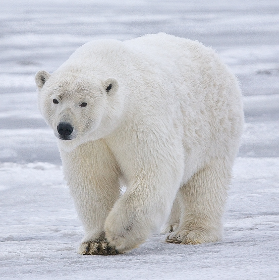
The Polar Plunge.
The coldest air of the winter moves in Friday with a period of dangerously cold wind chills that can cause frostbite in just 5 to 10 minutes expected tomorrow afternoon into Saturday afternoon. This may be the coldest air mass locally since February 2016 if not longer. Continue to follow forecasts and consider rescheduling outdoor plans. Wind chills will fall below zero tomorrow and not recover back above zero until sometime Sunday afternoon. Don’t forget about pets and livestock.
Weather Patterns We’re Watching
Sunday into the first week of February temperatures into the 40s.

Click for New Hampshire Ski & Boarding Report
White Mountains Weather
The forecast for summits above 4,000 feet in Northern New Hampshire:
Today – Summits obscured. Highs around 17. West winds 25 to 35 mph. At elevations above 5,000 feet, west winds around 45 mph increasing to around 55 mph in the afternoon. Wind chill values are as low as 32 below.
The forecast for elevations between 2,500 and 4,000 feet in Northern New Hampshire:
Today – Summits obscured. Highs around 17. West winds 25 to 35 mph. At elevations above 5000 feet, west winds around 45 mph increasing to around 55 mph in the afternoon. Wind chill values are as low as 32 below.