

Wednesday’s Weather
FLASH FLOOD WATCH IN EFFECT THROUGH 4 PM TODAY.
Widespread rainfall amounts of 1 to 3 inches are possible over southern New Hampshire through 9 a.m. as the remnants of Ida moves away from New England. Locally higher amounts of 3 to 4 inches are possible. This amount of rainfall may be enough to cause flash flooding and flooding of smaller rivers and streams. Flooding of urban and poor drainage flooding may also occur.
5-Day Outlook Sept. 2 – Sept. 6
Today: Rain ending by 9AM from Tropical Rainstorm Ida. Some afternoon sun and not as warm. High 69 Winds: NNW 10-20+ mph
Tonight: Clearing and comfortable Low 56 Winds: NW 5-10
Friday: Mix sun & clouds; breezy & nice High 70 Winds: NW 10-15+ mph
Friday night: Mainly clear Low 56 Winds: NW 5-10 mph Saturday: Sunny & pleasant High 75 Winds: W 5-10 mph
Saturday night: Mainly clear Low 58 Winds: SW 5-10 mph
Sunday: Mix sun & clouds High 75 Winds: SSW 5-10 mph
Sunday night: Mostly cloudy with an early thunderstorm Low 63 Winds: SSW 5-10 mph
Labor Day: Mix sun & clouds; increasing humidity with a spot thunderstorm High 79 Winds: WSW 5-10 mph
Monday night: Mostly clear Low 59 Winds: WSW 5-10 mph
Weather Patterns We’re Watching
Labor Day weekend looking comfortable and dry, with highs in the 70s. Much better than Memorial Day & July 4th weekends!
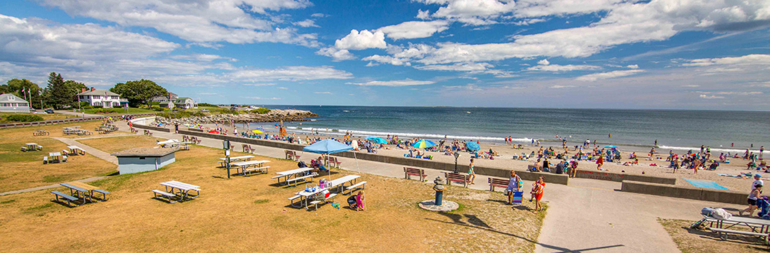
Beach Forecast for Hampton & Rye
Weather Data
August was warmer and slightly drier for Concord
TEMPERATURE DATA/PRECIPITATION DATA
After record rainfall for July, August below normal.
AVERAGE MONTHLY: 72.6
TOTAL FOR MONTH: 3.36″
Departure from normal: 3.1
Departure from normal: -0.27″
HIGHEST: 94 ON 26
Greatest 24 hour: 1.26″ ON 23-24
LOWEST: 48 ON 3
August was warmer and slightly drier for Manchester
TEMPERATURE DATA/PRECIPITATION DATA
After record rainfall for July, August is below normal.
AVERAGE MONTHLY: 75.4
TOTAL FOR MONTH: 2.88″
Departure from normal: 3.2
Departure from normal: -0.47″
HIGHEST: 94 ON 26
Greatest 24 hour: 1.30″ ON 19-20
LOWEST: 48 ON 3
Be an official Ink Link Weather Spotter!
Rick Gordon could use your help. If you are interested in becoming a local weather spotter (all locations around NH) contact Rick at gordonwx@comcast.net and he’ll walk you through the process!
